

BatchGeo is the quickest way to turn a CSV into a map, and for a file of a few hundred addresses that need to become pins, it is usually the whole answer. Once the file runs into the tens of thousands of rows, or the pins need routing or reporting, the job moves to the paid business mapping tools in the middle of the ranking.
Google My Maps covers the small, free end, as long as the file stays under its import cap.
What The CSV Needs Before Upload
Every tool here reads a CSV the same basic way. It looks for column names, finds the ones that contain a location, and sends those values to a geocoder, the service that turns an address into map coordinates. The geocoder can only work with what those columns contain, so a clean header and a complete address matter more than which tool does the reading.
One Header Row
The first row of the file should contain column names, one field per column, with no merged or blank header cells. Upload screens use those names to guess which columns are the street, city, state, and ZIP code. A file exported from a CRM or a survey platform usually arrives this way. A file assembled by hand often does not.
Address Or Coordinate Columns
A full street address places a pin on the building. A city or ZIP code alone places it somewhere inside that area, which is fine for a regional view and wrong for a delivery list. Latitude and longitude columns skip geocoding entirely, because the coordinates are already in the file.
Google My Maps accepts latitude and longitude, addresses, or WKT, a text format that describes points, lines, and areas. Felt can also match ZIP codes, counties, and census tracts to official boundaries instead of placing points.
Row Count
The row limit is the first number to check against the file. Google My Maps tells users not to import files of more than 2,000 rows. Felt geocodes up to 10,000 addresses per upload by default. eSpatial allows 50,000 records per dataset on Mapping Pro and 100,000 on its higher plans. BatchGeo’s own pages give two different figures for a Pro map, so a large file is worth testing before paying.
1. BatchGeo

BatchGeo takes a CSV three ways: drag-and-drop, file selection, or a straight paste of rows copied from a spreadsheet. It geocodes addresses, intersections, cities, states, postal codes, and coordinates, and each saved map gets its own shareable link. Grouping by a column colors and filters the pins, and the finished map can be embedded on a web page.
The Pro plan is one flat price, $99 a month, covering 10 users, password protection, a heat map layer, and export to PDF, PNG and KML. The free plan needs no account to try, allows up to 1,000 geocodes a month and 100 map views, and keeps maps for 30 days. Updating a saved map means opening the edit link BatchGeo emails and saving the changed data again.
2. Felt

Felt accepts CSV, Excel, and Numbers files and geocodes the addresses in them. Its other route suits files with no street addresses at all. Felt can match a column of states, counties, ZIP codes, or census tracts to Census boundary files. ZIP codes are matched as ZCTAs, the Census Bureau’s approximations of ZIP code areas.
A layer can have up to 50 million features, and a browser upload can be as large as 5 GB. CSV mapping needs the Professional plan or its 7-day free trial, and every plan comes with 10 full seats.
3. Maptive

Maptive is built for exported files that arrive messy. A location column can contain full street addresses, cities, bare ZIP codes or coordinates, and Maptive says its engine repairs garbled addresses and fills gaps in the ZIP column while the file uploads.
Maps export as images, and the rows, whole or filtered, go back out as a spreadsheet file, CSV included. The main limit is file size. No single data set can pass 100,000 locations on any self-serve plan, and a separate cap on the total number of locations geocoded runs from 150,000 on the one-time pass to 1,000,000 on Team. (Markers per map are counted on their own, up to 200,000.)
4. eSpatial
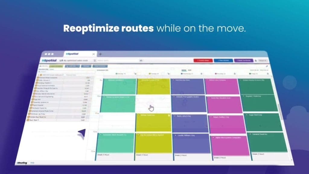
eSpatial, a sales territory and mapping tool, suits a CSV that began as a CRM export. Its spreadsheet upload maps account lists from Excel or other exports, and a Salesforce integration is sold as a $5,995 add-on for teams that want the connection instead of the file.
Mapping Pro takes 50,000 records per dataset and 100,000 geocodes a month, with a daily import cap of 200,000 records. Higher plans raise all three. Mapping Pro also comes with 10 Auto-Sync Tasks for keeping a dataset current after the first upload, and it draws drive-time and radius polygons around the plotted accounts. A 7-day trial needs no credit card.
5. Mapline

Web mapping and routing platform Mapline takes a CSV or Excel upload, or rows pasted from a spreadsheet, and can turn the uploaded stops into routes. A single route is available on the base paid plan, and multi-vehicle routing comes with Pro.
Pin-density heat maps show where a list clusters, and territories drawn around the uploaded pins can be colored as a heat map too. Mapline does not publish its row limits. A free Starter plan does not expire and needs no card.
6. Google My Maps
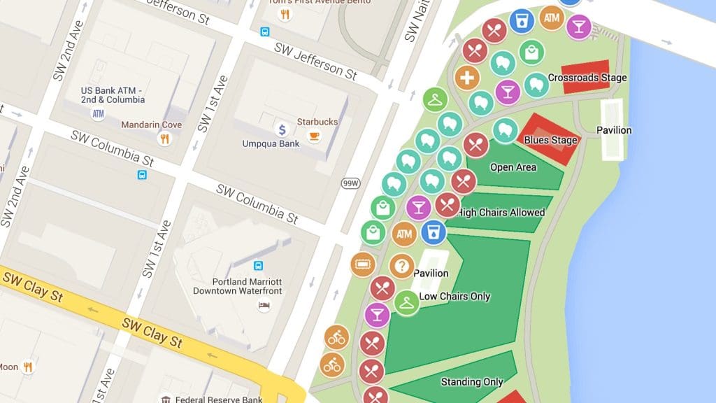
Google’s free custom-map maker, My Maps, suits a CSV that several people need to work on. A map can be co-edited the way a Google Doc is, saved to Google Drive and embedded on a website.
It imports CSV, TSV, XLSX, and Google Sheets files into layers, with up to 10,000 places across one map, and the 2,000-row cap from the prep section applies to each file. An imported file other than KML can be up to 40 MB.
Styling pins by a column is the extent of the analysis, and those style rules carry over when a layer is replaced with a newer copy of the file.
Fixing The Rows That Fail To Geocode
Most tools report the rows they could not place, and that list is where to start. Typos, missing ZIP codes, and suite numbers crammed into the street field are the usual causes. Fix them in the spreadsheet and upload the corrected file rather than editing pins one at a time.
When an address cannot be fixed, drop down a level. A row with a good ZIP code or city will still map, less precisely, and for regional counts that is often enough. For a list that must be exact, add latitude and longitude columns from a source that already has them, such as the CRM or a field app, and re-upload.
Tools that match ZIP codes or counties to boundaries can use those rows for area totals without placing a point at all.
Was this helpful?
Last updated on 03 November, 2026
Read Next
 What Does Mapping a Drive Mean in Windows, and How Is It Useful?
What Does Mapping a Drive Mean in Windows?
 How to Export Chrome Passwords to CSV
Are you tired of losing or forgetting your passwords?
 5 Best Tools to Extract RAR Files on Windows 11 (Free and Paid)
1.
 How to Scan QR Code on Phone Without Using Another Phone
Note: Both iPhone and Android can scan QR codes on the phone.
 How to Download Multiple Files From Google Drive Without Zipping
Method 1: Using the Google Drive App on a PC Google Drive zips files only when you download them via a browser.
 How to Share Files Between Android and PC Without Internet
In today's connected world, sharing files between devices has become a necessity, whether for work, study, or personal reasons.
 How to Reinstall Windows 11 Without Losing Apps and Files
In some cases, your Windows 11 might get so corrupted by a virus or another issue that the only way forward is to reinstall the operating system.
 5 Best Tools to Extract Fonts from PDFs Online
You are reading a PDF file and like the font type.
The article above may contain affiliate links which help support Guiding Tech. The content remains unbiased and authentic and will never affect our editorial integrity.